


Principales ventajas
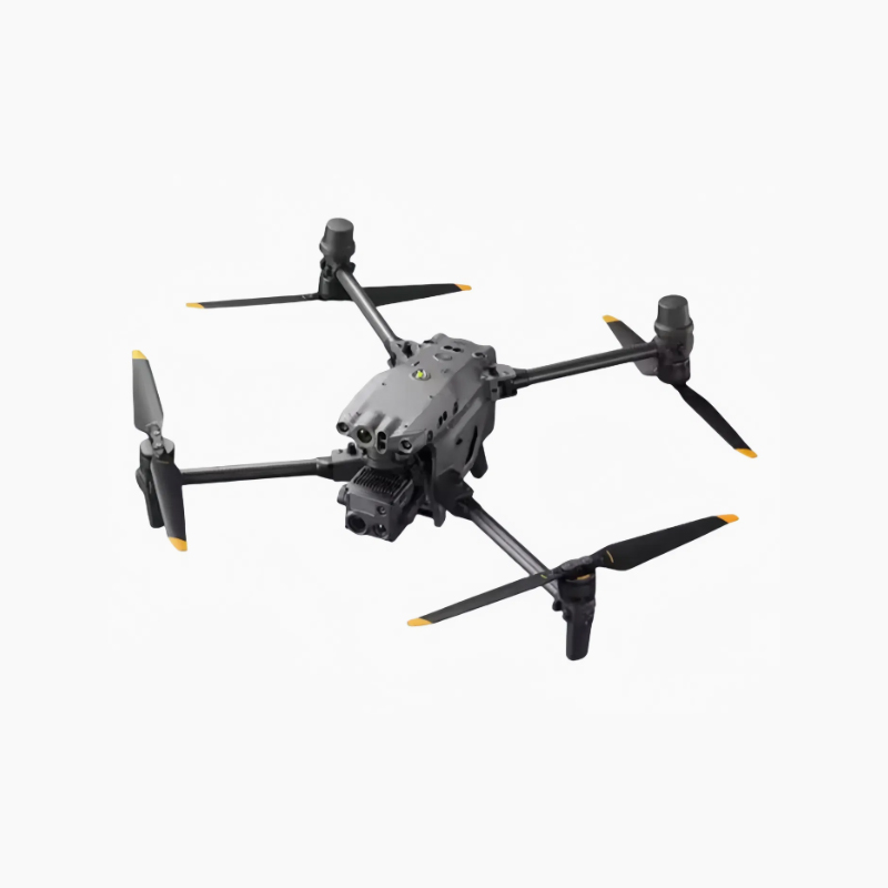
Sistema de imagen de alto rendimiento con tres cámaras
- ✔
Cámara gran angular de 48 MP: Sensor CMOS de 1/2″ con distancia focal equivalente a 40 mm, que captura fotos 8K ultra nítidas y vídeos 4K/30 fps para cartografía de grandes áreas e inspección diurna. - ✔
Cámara con zoom de 48 MP: Zoom óptico de 5-16 aumentos y zoom híbrido de hasta 200 aumentos (equivalente a 113-405 mm), ideal para la observación de objetivos a larga distancia y la inspección detallada de componentes. - ✔
Telémetro láser de 1200 m: Precisión ±(0,2 + 0,0015×D)m para el posicionamiento preciso de objetivos, la medición del terreno y el cálculo del volumen de las reservas.
Operaciones inteligentes basadas en IA
- ✔
Detección inteligente de objetivos: Identifica automáticamente personas, vehículos, embarcaciones e infraestructuras con ayuda de algoritmos de terceros para misiones específicas del sector. - ✔
Flujo de trabajo colaborativo: Sincroniza con DJI Sky 2 para la coordinación multi-drone, eliminando tareas redundantes y maximizando la eficiencia de la misión. - ✔
Precisión RTK a nivel centimétrico: El GNSS multisistema (GPS + Galileo + BeiDou + GLONASS) ofrece una precisión topográfica y cartográfica de nivel profesional. - ✔
Receptor ADS-B: El ADS-B integrado avisa en tiempo real de las aeronaves tripuladas cercanas para garantizar la seguridad de los vuelos en el espacio aéreo compartido.
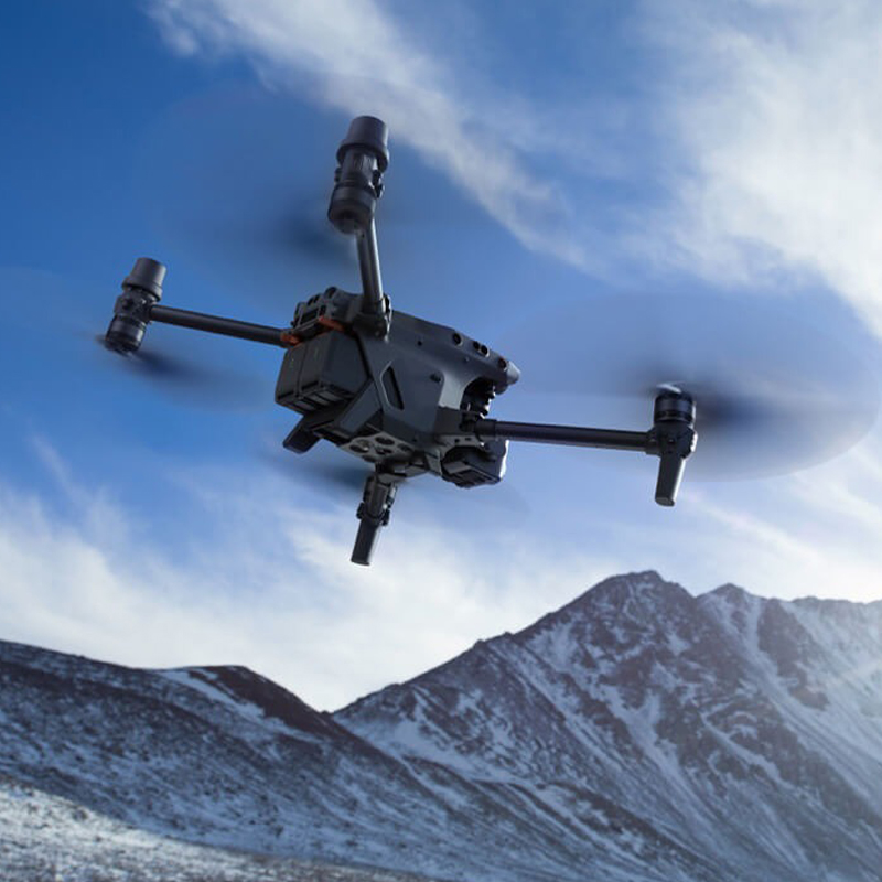
Vuelo fiable en cualquier condición meteorológica
- ✔
41-Min Max Tiempo de Vuelo: Hasta 41 minutos de autonomía para misiones de inspección y vigilancia de grandes áreas. - ✔
25km O3 Enterprise Transmission: El sistema adaptativo de 8 antenas admite vídeo 1080p de 3 canales con respaldo 4G para una conectividad estable en terrenos complejos. - ✔
Evitación de obstáculos en 6 direcciones: La visión binocular y los sensores de infrarrojos cercanos permiten evitar obstáculos con seguridad en la oscuridad y en entornos complejos. - ✔
IP55 Resistencia a la intemperie: Funciona con fiabilidad de -20°C a 50°C, resistente al polvo, la lluvia, el viento y las temperaturas extremas. - ✔
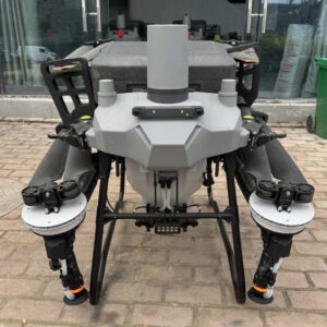
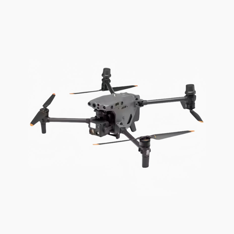
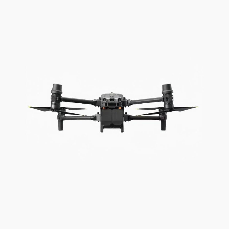
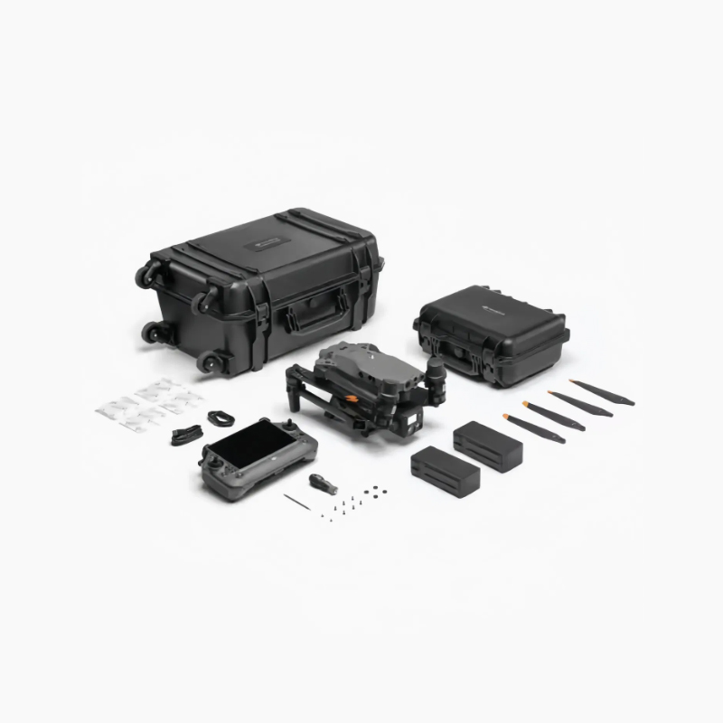
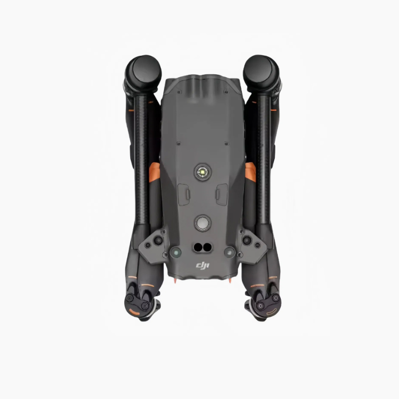
Diseño ligero y plegable: 3770 g (con dos baterías), dimensiones plegado 365×215×195 mm para facilitar el despliegue por un solo operador.
Escenarios de aplicación
- •
Seguridad pública: Búsqueda y rescate, seguimiento de sospechosos, control de multitudes, detección de incendios forestales, evaluación de catástrofes - •
Potencia y energía: Patrulla de líneas de transmisión, supervisión de subestaciones, inspección de parques eólicos y solares - •
Respuesta de emergencia: Control de inundaciones, rescate tras catástrofes, cartografía de incendios forestales, planificación de la reconstrucción - •
Construcción e infraestructuras: Inspección de edificios, detección de defectos en puentes, supervisión del progreso de las obras - •
Minería y canteras: Levantamiento topográfico, control de pendientes, estadísticas de volumen de material
Especificaciones técnicas
Peso máximo al despegue: 4069g | Peso neto: 3770g (con 2 pilas)
Dimensiones plegado: 365×215×195mm
Velocidad máxima de vuelo: 23 m/s (nivel del mar, sin viento, modo Sport)
Resistencia al viento: Hasta 12 m/s
Temperatura de funcionamiento: -20°C a 50°C (-4°F a 122°F)
GNSS Y RTK: GPS + Galileo + BeiDou + GLONASS, posicionamiento a nivel centimétrico
Sistema de cámaras: Gran angular de 48 MP + zoom de 48 MP + telémetro láser de 1200 m
Zoom: 5-16x óptico, hasta 200x híbrido
Evitación de obstáculos: Binocular de 6 direcciones + detección del infrarrojo cercano
Tiempo de vuelo: Hasta 41 minutos
Transmisión: O3 Enterprise, 25 km de largo alcance, respaldo 4G
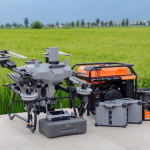
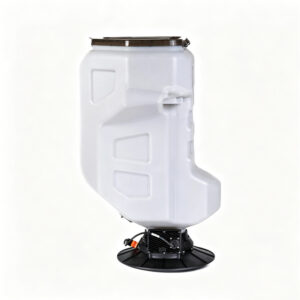
Accesorios opcionales
- - Estación base multifunción DJI D-RTK 3
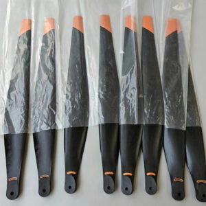
- - Juego de hélices silenciosas
- - Amplificador de voz en tiempo real
- - Módulo amplificador de señal 4G
- - Batería inteligente de alta capacidad
- - Tarjeta MicroSD de alta velocidad U3 de 128 GB / 256 GB
- - DJI Dock (Operaciones autónomas 24/7)