

DJI Mavic 3M Multispectral Specifications
Overview
| Modelo | DJI Mavic 3M Multispectral |
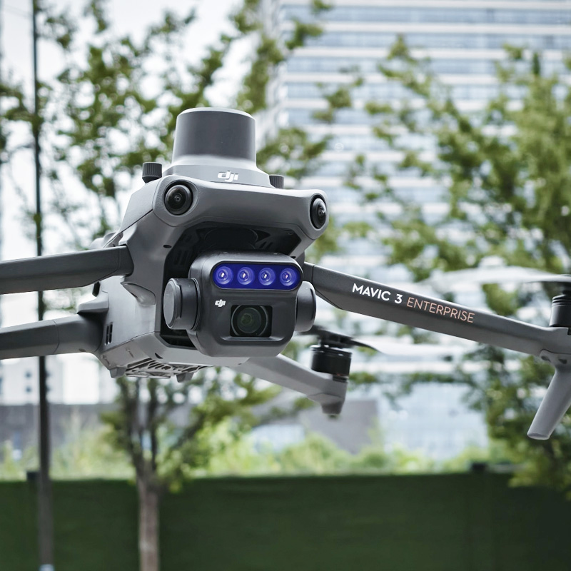
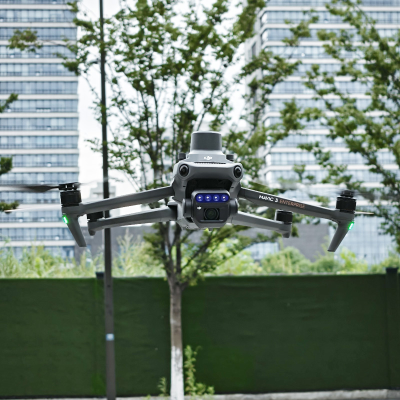
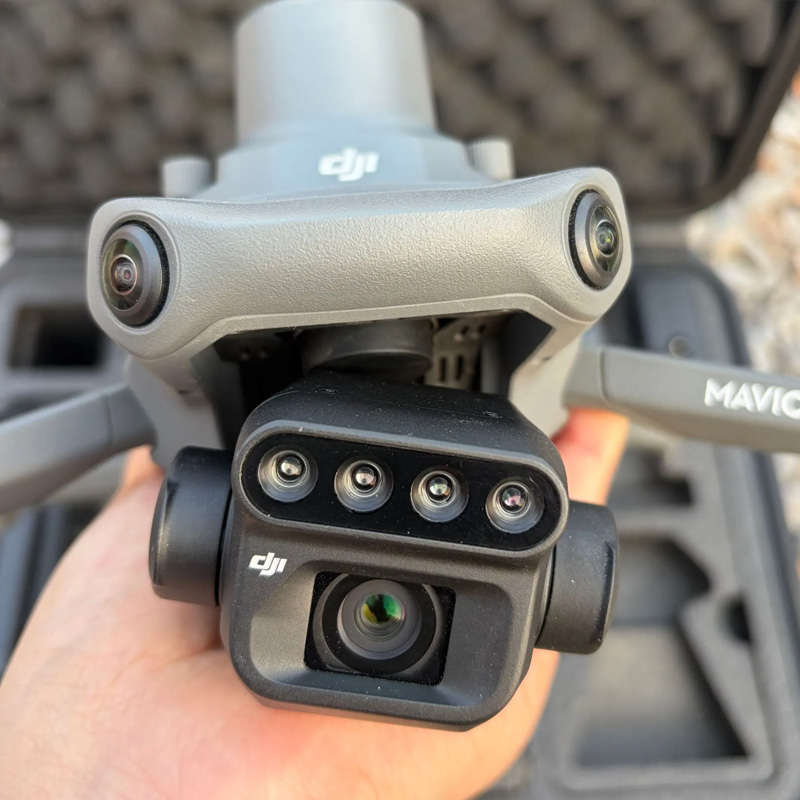
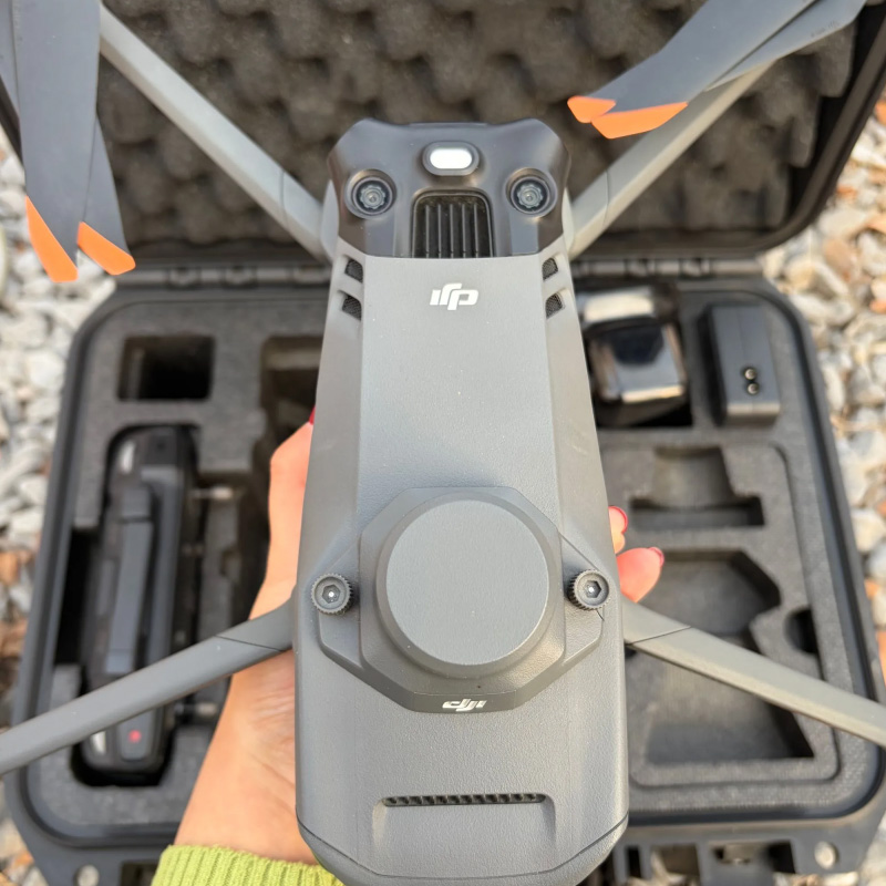
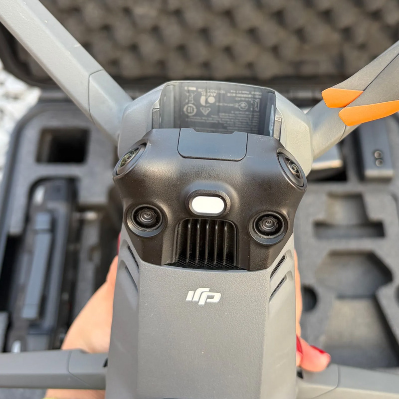
| Imaging System | 1 × 20MP RGB Camera + 4 × 5MP Multispectral Cameras |
| Positioning | Built‑in RTK, Centimeter‑Level Positioning |
| Obstacle Avoidance | Omnidirectional Vision Obstacle Sensing |
| Typical Applications | Agricultural Survey, Crop Health Monitoring, NDVI Mapping, Land Surveying, Environmental Inspection |
RGB Visible Camera
| Sensor | 4/3‑inch CMOS, 20MP |
| Shutter | Mechanical Shutter, Max 1/2000 s |
| Equivalent Focal Length | 24 mm |
| Field of View | 84° |
| Min. Capture Interval | 0.7 s |
Multispectral Cameras (4 Units)
| Sensor | 1/2.8‑inch CMOS, 5MP per camera |
| Spectral Bands | Green 560nm | Red 650nm | Red Edge 730nm | NIR 860nm |
| Equivalent Focal Length | 25 mm |
| Aperture | f/2.0, Fixed Focus |
| Image Format | TIFF |
| Light Correction | Built‑in Incident Light Sensor for Reflectance Calibration |
Flight Performance
| Max Flight Time | 43 minutes |
| Video Transmission | O3+, 15 km Max Transmission Distance |
| Max Wind Resistance | 12 m/s |
| GNSS | GPS / Galileo / GLONASS / BeiDou |
| Survey Efficiency | Up to 200 hectares per flight (ideal conditions) |
| AirSense | Built‑in Manned Aircraft Detection |
General
| Takeoff Weight | 951 g |
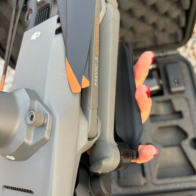
| Folded Dimensions | 221 × 96.3 × 90.3 mm |
| Operating Temperature | -10°C to 40°C |
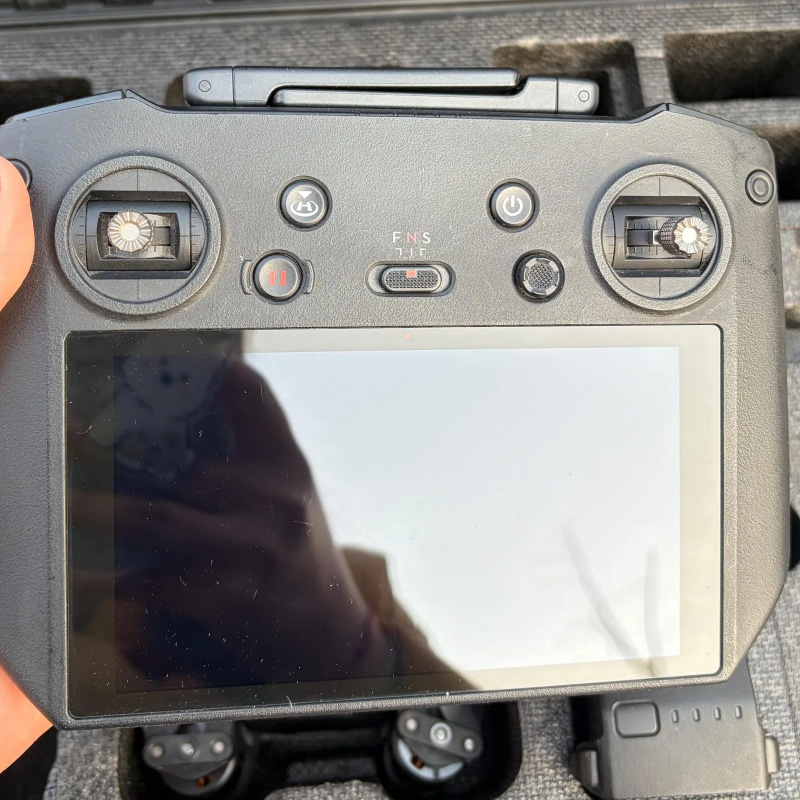
| Supported Software | DJI Pilot 2 |
| Vegetation Index | NDVI, GNDVI, NDRE and more |