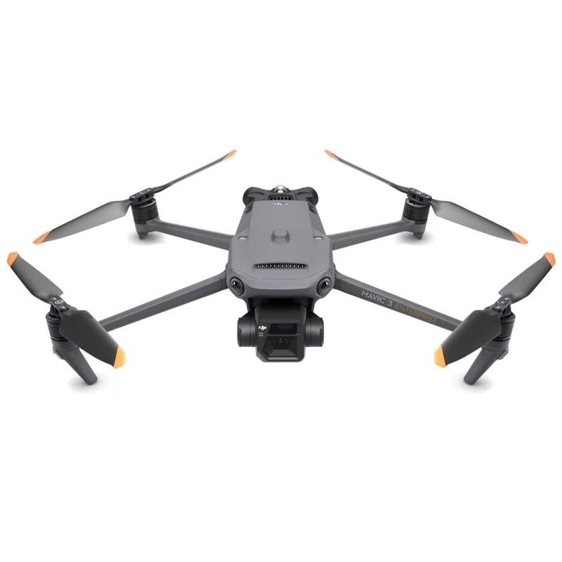

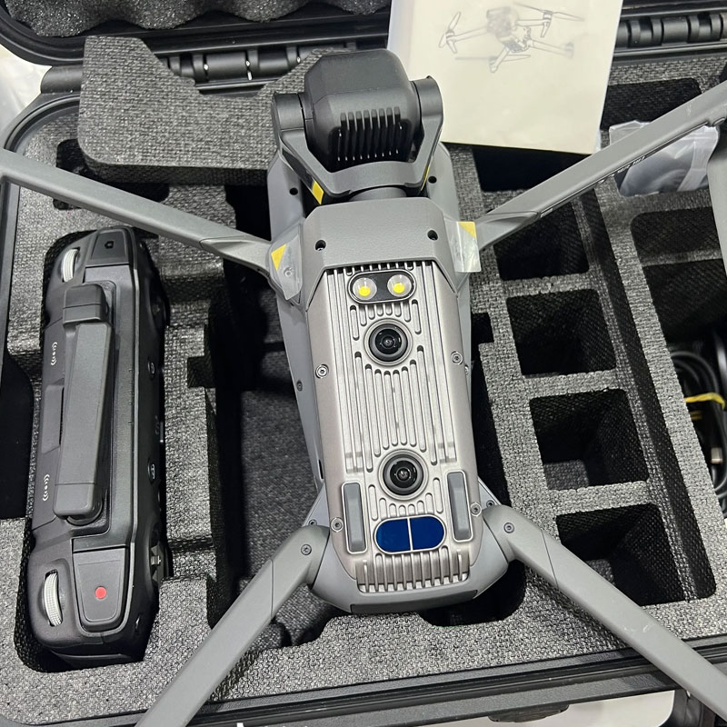


Core Advantages
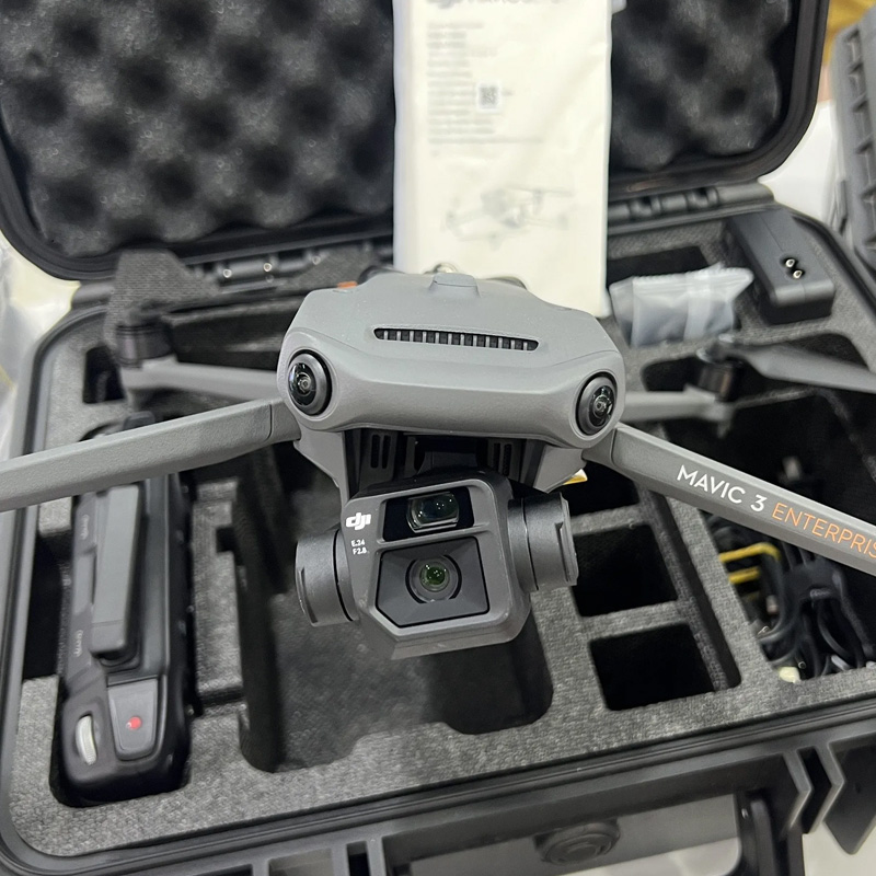
Dual-Camera High-Precision Imaging System
- ✔
20MP Wide-Angle Camera: 4/3 CMOS sensor with 24mm equivalent focal length and mechanical shutter (1/2000s) eliminates rolling shutter distortion. Supports 0.7s high-speed burst for accurate mapping and 3D reconstruction. - ✔
12MP Telephoto Camera: 162mm equivalent focal length with 56× hybrid zoom, ideal for long-distance power line inspection, bridge defect detection, and detailed component observation.
AI-Powered Intelligent Surveying & Inspection
- ✔
One-Tap 3D Modeling: Fully compatible with DJI Terra to auto-generate orthomosaics, 3D models, and point cloud data. Covers up to 2 km² per mapping mission. - ✔
Smart Target Detection: Automatically identifies buildings, vehicles, and engineering facilities with third-party algorithm support for industry-specific tasks. - ✔
Centimeter-Level RTK Precision: Multi-system GNSS (GPS + Galileo + BeiDou + GLONASS) delivers professional-grade accuracy and supports GCP-free mapping.
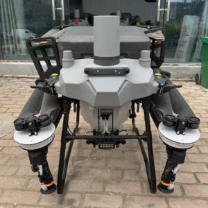
Portable & Reliable Flight Performance
- ✔
45-Min Max Flight Time: Up to 45 minutes of endurance for large-area surveying and inspection operations. - ✔
15km O3 Enterprise Transmission: 8-antenna adaptive system with 4G backup for stable connectivity in urban and complex terrain. - ✔
360° All-Round Obstacle Avoidance: 6 low-light fisheye sensors ensure safe flight in dark environments and complex job sites. - ✔
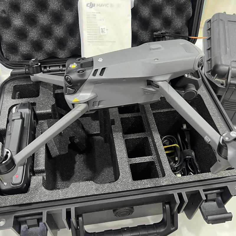
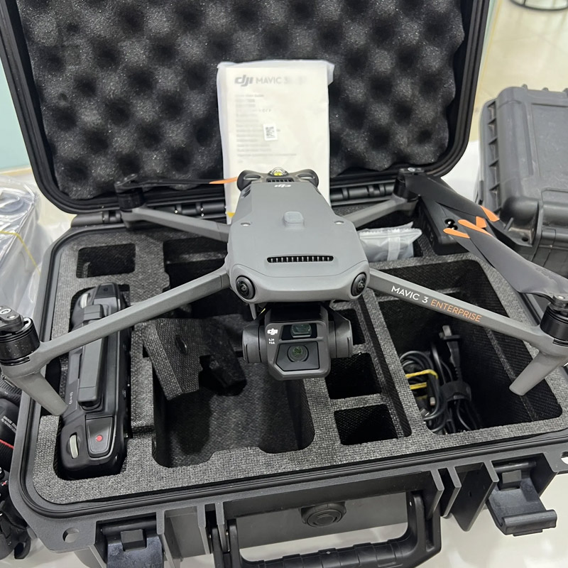
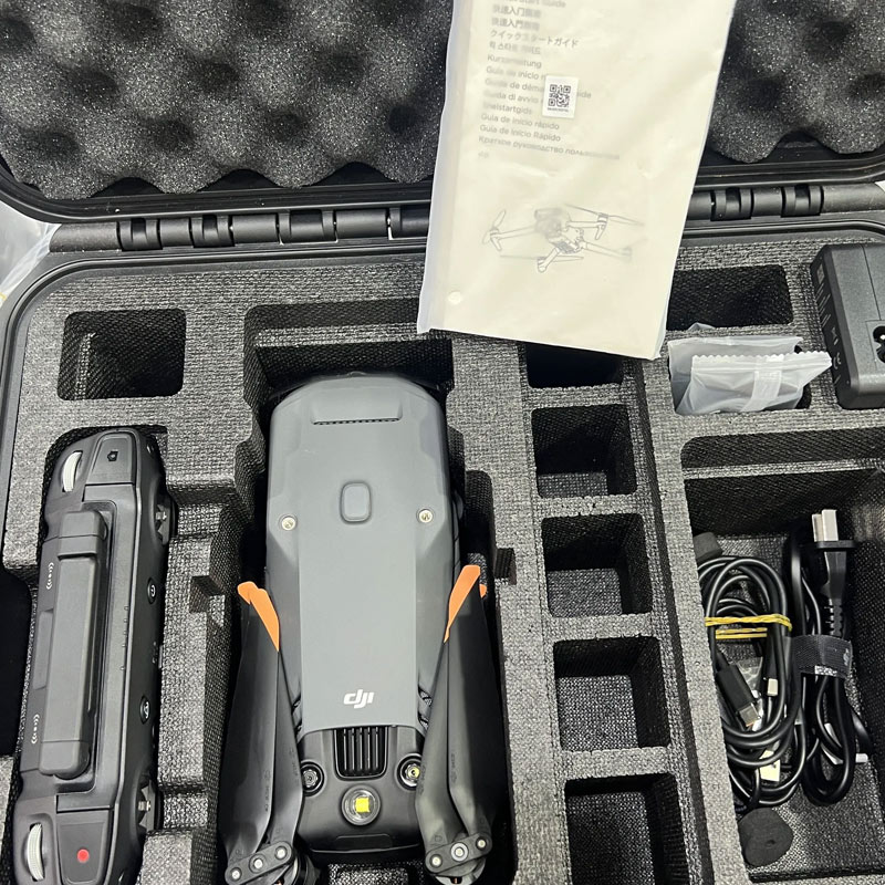
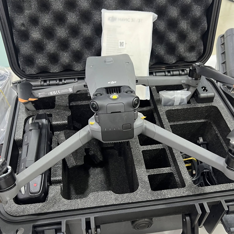
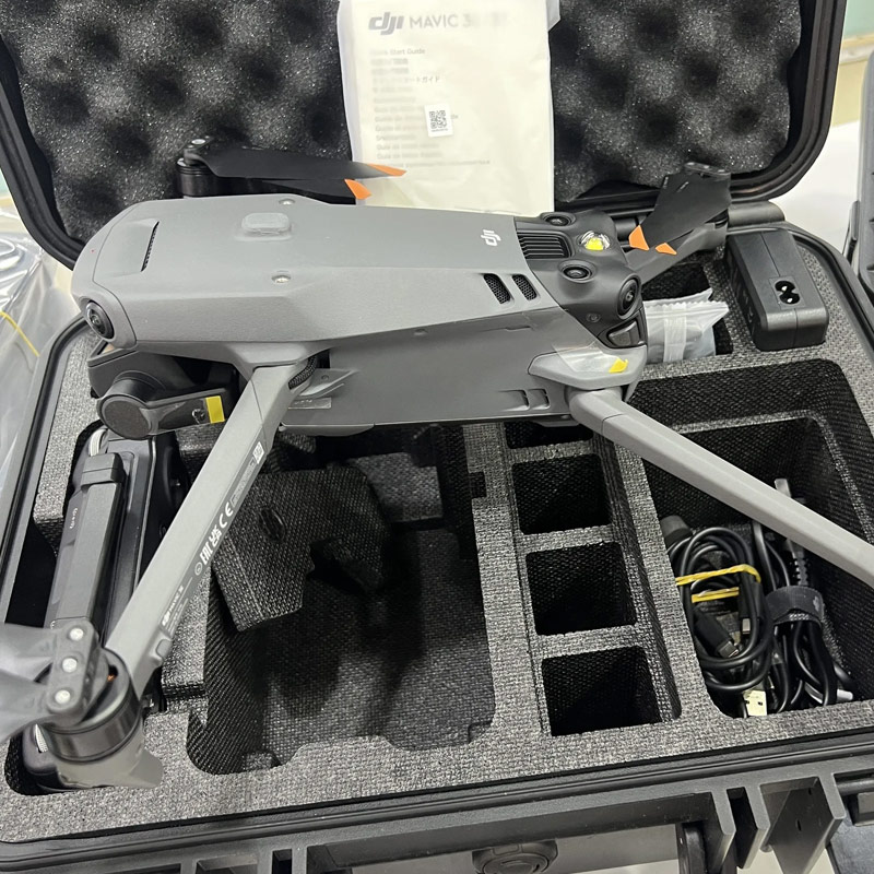
Lightweight Foldable Design: Only 915g net weight with folded dimensions 221×96.3×90.3mm for easy single-operator deployment.
Application Scenarios
- •
Public Safety: Urban planning, disaster assessment, post-disaster reconstruction mapping, bridge inspection - •
Construction & Engineering: Site progress monitoring, quality inspection, as-built data collection, stockpile volume calculation - •
Mining & Quarrying: Topographic survey, slope monitoring, haul road inspection, material volume statistics - •
Power & Energy: Transmission line patrol, substation mapping, wind & solar farm layout survey - •
Forestry & Environment: Reservoir patrol, forest inventory, land reclamation, ecological assessment
Technical Specifications
Takeoff Weight: 1050g Max Takeoff Weight / 915g Net Weight (with propellers)
Folded Dimensions: 221×96.3×90.3mm (without propellers)
Max Flight Speed: 21m/s (sea level, no wind, Sport Mode)
Wind Resistance: Up to 12m/s
Operating Temperature: -10°C to 40°C (14°F to 104°F)
GNSS System: GPS + Galileo + BeiDou + GLONASS, RTK supported
Camera System: 20MP 4/3 CMOS wide-angle (mechanical shutter) + 12MP telephoto
Zoom: 56× hybrid zoom
Obstacle Avoidance: 360° full vision with 6 low-light fisheye sensors
Flight Time: Up to 45 minutes
Transmission: O3 Enterprise, 15km long range
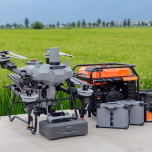
Optional Accessories
- • DJI D-RTK 3 Multi-Functional Base Station
- • Real-Time Voice Amplifier (110dB, 100m range)
- • 4G Signal Booster Module
- • High-Capacity Intelligent Battery
- • U3 High-Speed MicroSD Card 64GB / 128GB
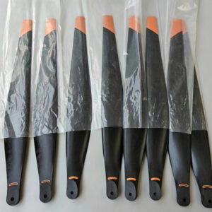
- • Low-Noise Propeller Set