


Avantages principaux
Une charge utile et un système d'imagerie puissants
- ✔
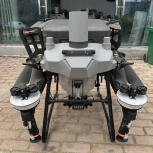
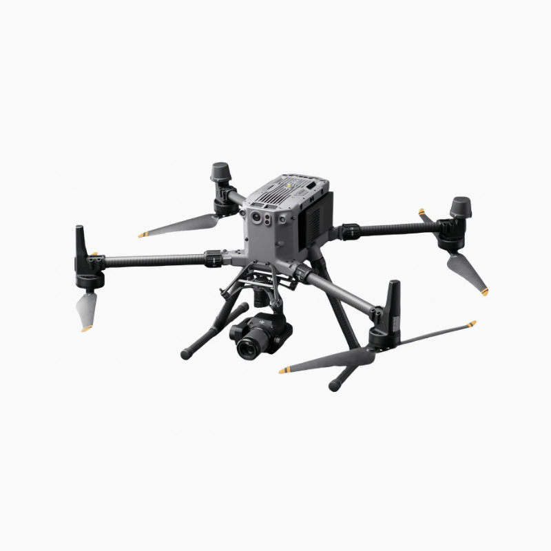
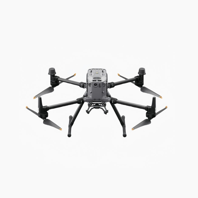
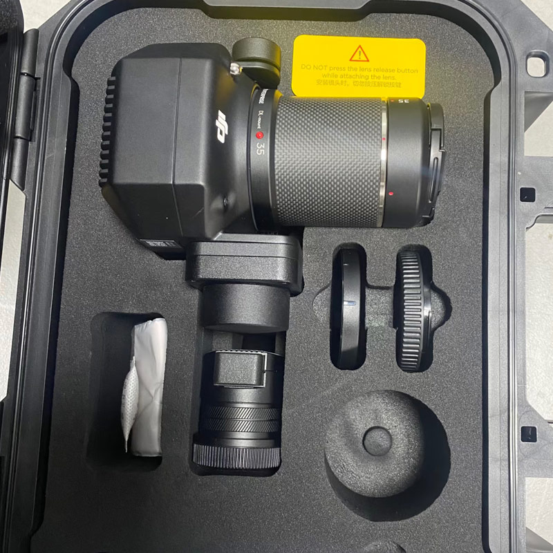
Compatibilité multi-gimbal : Prend en charge jusqu'à 3 charges utiles simultanément avec une capacité de levage maximale de 2,7 kg. Compatible avec des caméras thermiques, zoom, grand angle, LiDAR et multispectrales pour des missions entièrement personnalisables. - ✔
Vision et détection de haute précision : La caméra de vision nocturne 1080p intégrée, la vision binoculaire à 6 directions et les capteurs infrarouges d'évitement d'obstacles garantissent une bonne visibilité et une navigation sûre dans des environnements complexes et à faible luminosité. - ✔
Télémètre laser 1200m+ : Le télémètre haute précision en option permet de positionner la cible avec précision, de mesurer le terrain et de calculer le volume des stocks pour les tâches d'arpentage et de cartographie.
Opérations intelligentes alimentées par l'IA
- ✔
Détection et suivi intelligents des cibles : Identifie et suit automatiquement les personnes, les véhicules, les navires et les infrastructures. Prise en charge de la personnalisation des algorithmes par des tiers pour des applications spécifiques à l'industrie. - ✔
Flux de travail collaboratif : Synchronisation avec le DJI Sky 2 pour des opérations coordonnées multi-drones, éliminant les tâches redondantes et maximisant l'efficacité des missions. - ✔
Précision RTK au niveau centimétrique : Le GNSS multi-système (GPS + Galileo + BeiDou + GLONASS) avec RTK offre une précision horizontale de 1 cm +1ppm et une précision verticale de 1,5 cm +1ppm, répondant ainsi aux normes de qualité des professionnels de l'arpentage. - ✔
Récepteur ADS-B : L'ADS-B intégré fournit des alertes en temps réel pour les aéronefs pilotés à proximité, garantissant ainsi la sécurité des vols dans l'espace aérien partagé.
Fiabilité et performances de vol par tous les temps
- ✔
Temps de vol maximal de 55 minutes : Jusqu'à 55 minutes d'endurance pour les missions d'inspection, de cartographie et de surveillance à grande échelle. - ✔
25km O3 Enterprise Transmission : Le système adaptatif à 8 antennes prend en charge la transmission vidéo 1080p à 3 canaux avec sauvegarde 4G pour une connectivité stable en terrain complexe. - ✔
Évitement des obstacles dans les 6 directions : Vision binoculaire + capteurs infrarouges pour une sécurité totale dans l'obscurité totale et sur les chantiers complexes. - ✔
IP55 Résistance aux intempéries : Fonctionne de manière fiable de -20°C à 50°C, résiste à la poussière, à la pluie, au vent fort et aux températures extrêmes. - ✔
Opération à haute altitude : Vole jusqu'à 7000 m d'altitude, idéal pour les missions en montagne et dans les hauts plateaux.
Scénarios d'application
- •
Sécurité publique : Recherche et sauvetage, surveillance des foules, détection des incendies de forêt, évaluation des catastrophes, surveillance nocturne - •
Puissance et énergie : Patrouille des lignes de transmission, surveillance des sous-stations, inspection des parcs éoliens et solaires, détection des anomalies thermiques - •
Intervention d'urgence : Surveillance des inondations, sauvetage après une catastrophe, cartographie des incendies de forêt, planification de la reconstruction - •
Construction et infrastructure : Inspection des bâtiments, détection des défauts des ponts, surveillance des sites, modélisation 3D - •
Mines et carrières : Levés topographiques, surveillance des pentes, calcul des volumes, inspection des chemins de halage - •
Forêts et environnement : Inventaire des ressources, détection de l'exploitation forestière illégale, patrouille des réservoirs, surveillance écologique
Spécifications techniques
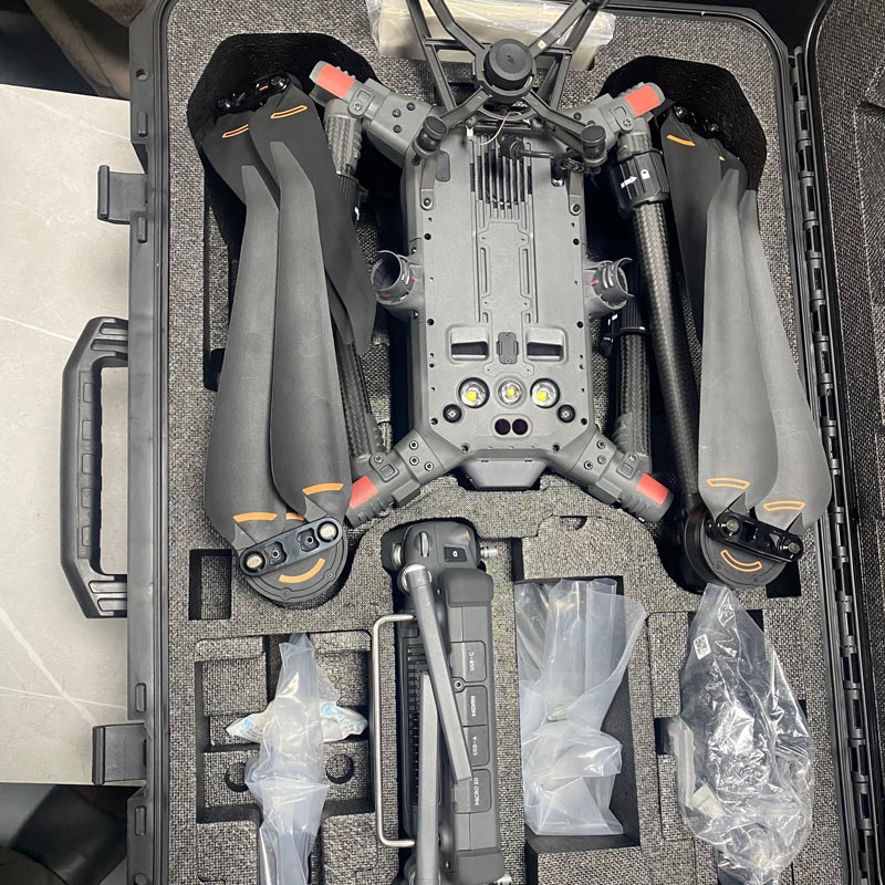
Poids maximal au décollage : 9,2 kg | Poids net : 6,47 kg (avec 2×TB65 batteries)
Plié Dimensions : 430×420×430mm (avec hélices)
Vitesse de vol maximale : 23m/s (niveau de la mer, pas de vent, mode sport)
Résistance au vent : Jusqu'à 12m/s
Température de fonctionnement : De -20°C à 50°C (de -4°F à 122°F)
GNSS ET RTK : GPS + Galileo + BeiDou + GLONASS, positionnement au centimètre près
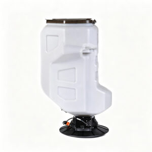
Système de charge utile : Multi-gimbal, prend en charge les capteurs thermiques, LiDAR, zoom et multispectraux
Évitement des obstacles : Vision binoculaire 6 directions + détection infrarouge
Durée du vol : Jusqu'à 55 minutes
Transmission : O3 Enterprise, 25 km de portée, 4G de secours
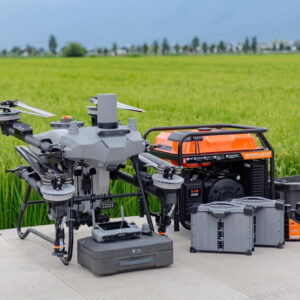
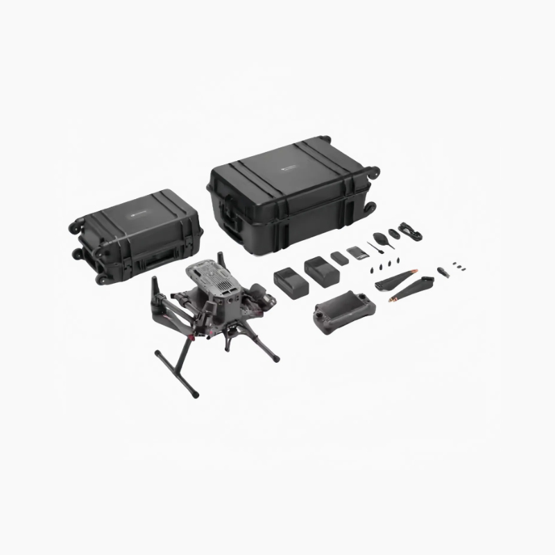
Accessoires en option
- - Station de base multifonctionnelle DJI D-RTK 3
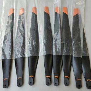
- - Jeu d'hélices à faible bruit
- - Amplificateur vocal en temps réel
- - Module d'amplification du signal 4G
- - TB65 Batterie intelligente à haute capacité
- - Carte MicroSD U3 haute vitesse 128GB / 256GB
- - DJI Dock (opérations autonomes 24/7)
- - Télécommande DJI RC Plus Enterprise