


Avantages principaux
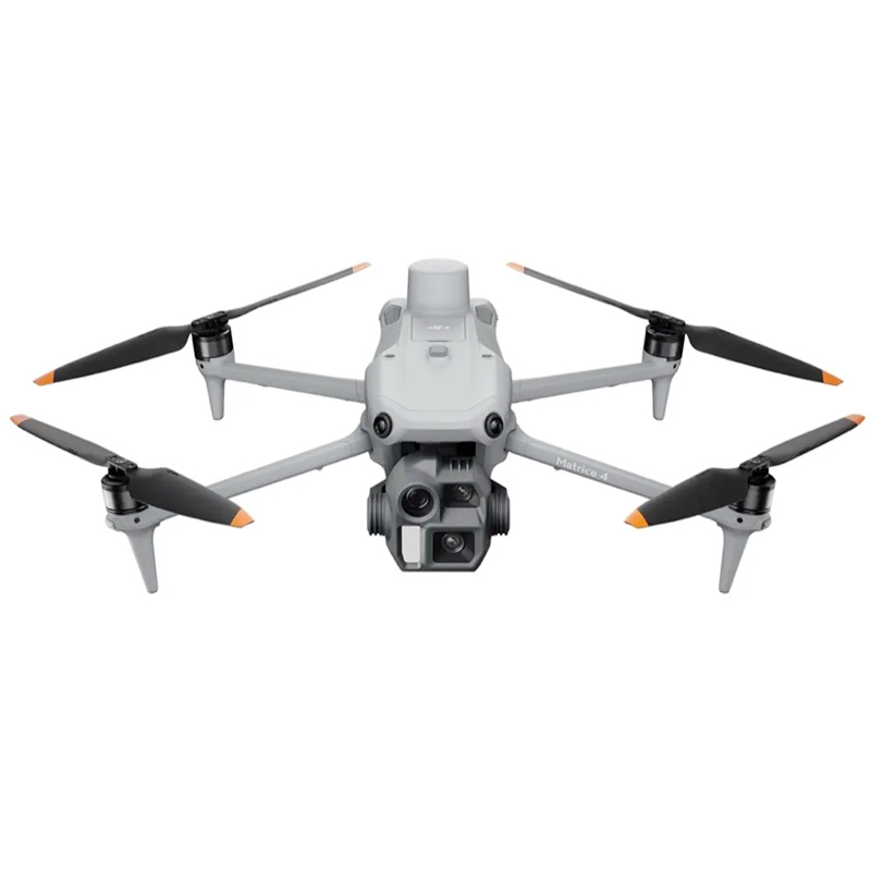
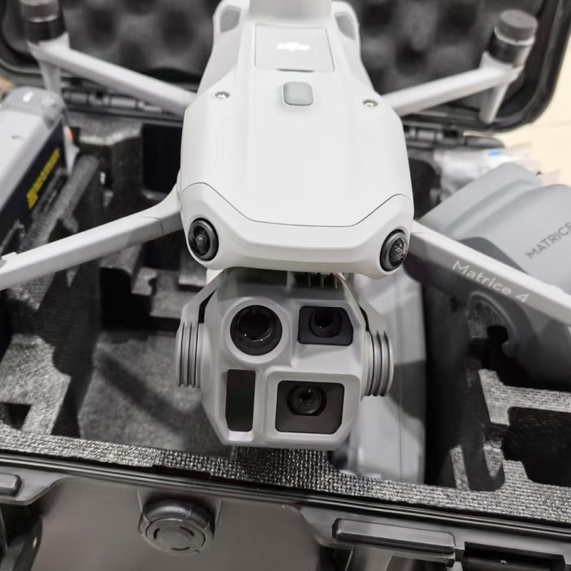
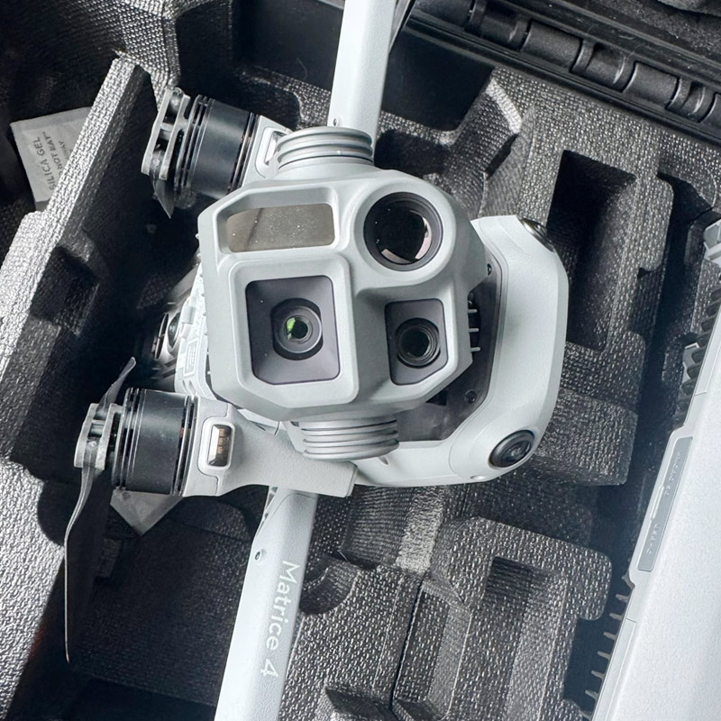
Système d'imagerie aérienne de haute précision
- ✔
Système à trois caméras : Grand angle 20MP (24 mm, CMOS 4/3, obturateur mécanique), téléobjectif moyen 48MP (70 mm), téléobjectif 48MP (168 mm). Prise en charge d'un zoom optique 7x et d'un zoom hybride 112x pour une inspection à longue portée et une cartographie à grande échelle d'une grande netteté. - ✔
Télémètre laser 1800m : Précision ±(0,2 + 0,0015×D)m, idéal pour l'arpentage du terrain, le calcul du volume des stocks et le positionnement précis des cibles. - ✔
Photographie oblique à 5 directions : Capture 5 angles en un seul vol pour améliorer l'efficacité et la précision de la modélisation 3D et de la cartographie orthomosaïque.
Levés intelligents alimentés par l'IA
- ✔
Modélisation 3D en un seul geste : Entièrement compatible avec DJI Terra pour générer automatiquement des modèles 3D, des orthomosaïques et des données de nuages de points. - ✔
Détection intelligente des cibles : Identifie automatiquement les bâtiments, les véhicules et les infrastructures grâce à des algorithmes tiers. - ✔
Flux de travail collaboratif : Synchronisation avec le DJI Sky 2 pour une coordination multi-drones et des opérations rationalisées. - ✔
RTK au niveau centimétrique : GNSS multi-systèmes pour une précision cartographique de niveau professionnel.
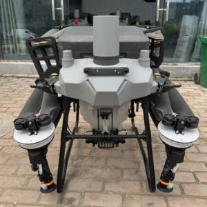
Des performances de vol fiables
- ✔
Temps de vol maximal de 49 minutes : 46 minutes avec des accessoires silencieux ; couvre jusqu'à 2,8 km² par mission de cartographie. - ✔
O4 Enterprise Transmission : Portée de 25 km, système à 8 antennes, téléchargement de 20 Mo/s pour des liaisons stables en milieu urbain et en terrain complexe. - ✔
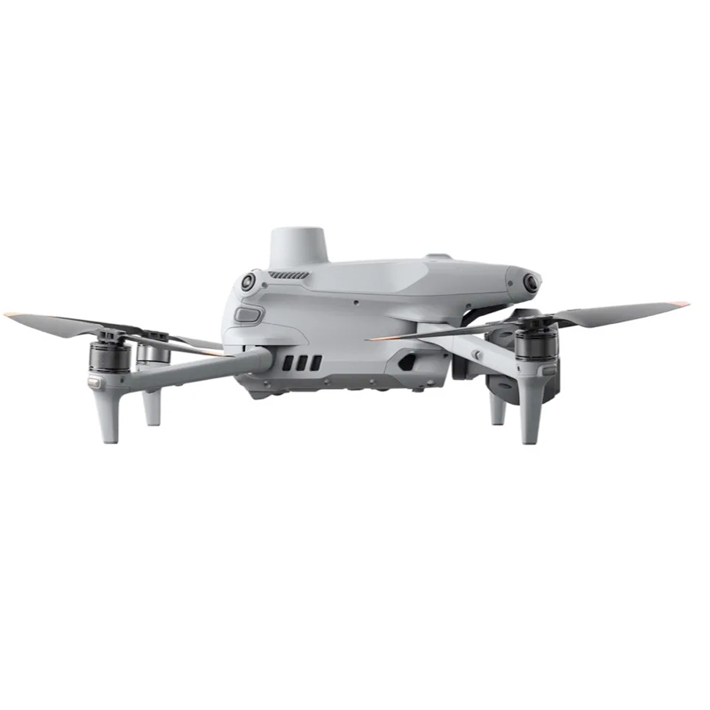
Évitement des obstacles à 360° : 6 capteurs fisheye à faible luminosité pour des vols de nuit et sur les chantiers en toute sécurité. - ✔
Interférence anti-GNSS : Le positionnement assisté par la vision garantit un retour stable à la maison, même en l'absence de signaux satellites.
Scénarios d'application
- •
Sécurité publique : Inspection des ponts, planification urbaine, évaluation des catastrophes, cartographie de la reconstruction - •
Construction et ingénierie : Suivi du site, inspection de la qualité, collecte de données conformes à l'exécution - •
Mines et carrières : Levés topographiques, surveillance des pentes, calcul des volumes, inspection des chemins de halage - •
Puissance et énergie : Patrouille des lignes de transmission, cartographie des sous-stations, tracé des parcs éoliens et solaires - •
Forêts et environnement : Patrouille des réservoirs, inventaire forestier, remise en état des terres, écosurveillance
Spécifications techniques
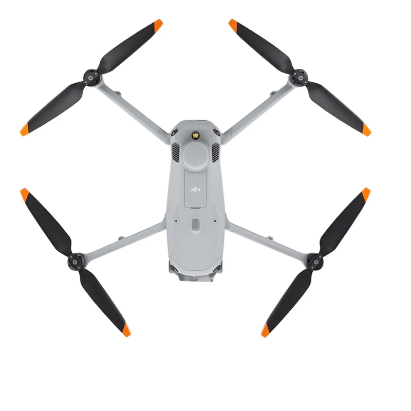
Poids au décollage : 1219g (standard) / 1229g (hélices à faible bruit)
Plié Dimensions : 260,6×113,7×138,4mm
Vitesse de vol maximale : 21m/s (niveau de la mer, sans vent)
Résistance au vent : 12m/s
Temp. de fonctionnement De -10°C à 40°C (14°F à 104°F)
GNSS : GPS + Galileo + BeiDou + GLONASS, prise en charge du RTK
Système de caméra : 20MP CMOS 4/3 + 48MP moyen télé + 48MP télé
Zoom : 7x optique, 112x hybride
Télémètre laser : Jusqu'à 1800 m
Évitement des obstacles : 360° avec 6 capteurs fisheye à faible luminosité
Durée du vol : Jusqu'à 49 minutes
Transmission : O4 Enterprise, portée de 25 km
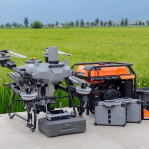
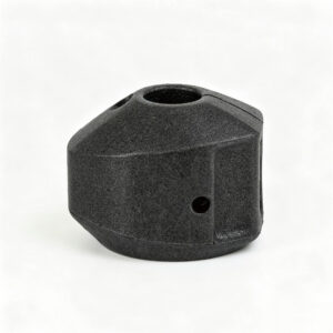
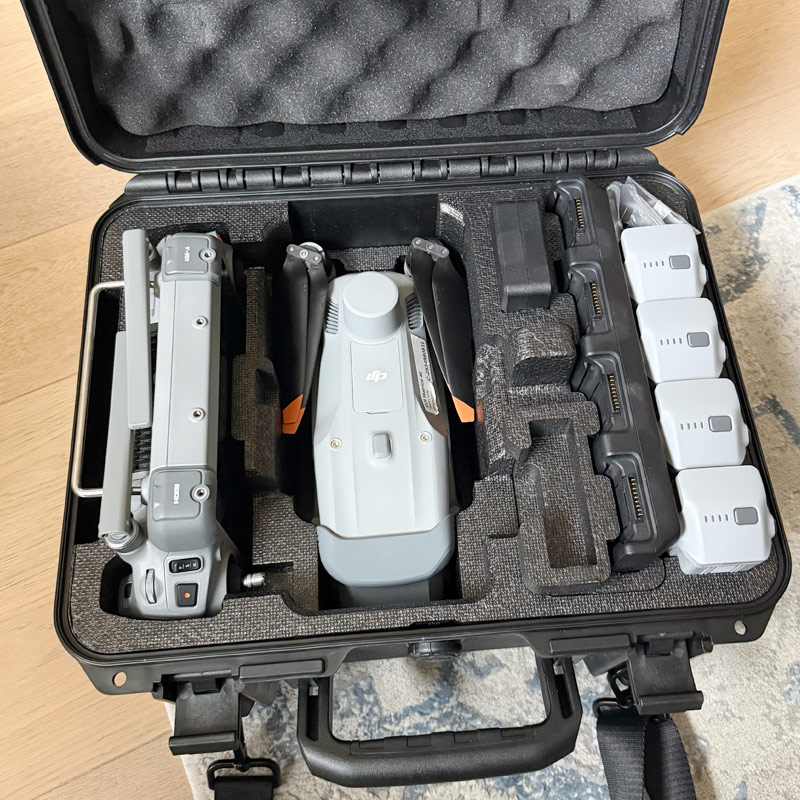
Accessoires en option
- - Station de base multifonctionnelle DJI D-RTK 3
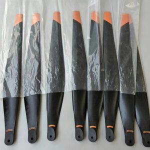
- - Jeu d'hélices à faible bruit
- - Amplificateur vocal en temps réel
- - Module d'amplification du signal 4G
- - Batterie intelligente à haute capacité
- - Carte MicroSD U3 haute vitesse (128GB / 256GB)